Address
Kumari,Lama,Bandarban, Bangladesh
 Join Our Event (28 Dec, 2026) Kumari, Lama, Bandarban.
A future where healthy ecosystems, empowered communities, and resilient food systems sustain both people and nature, where biodiversity flourishes and every generation inherits a healthier, more equitable environment.
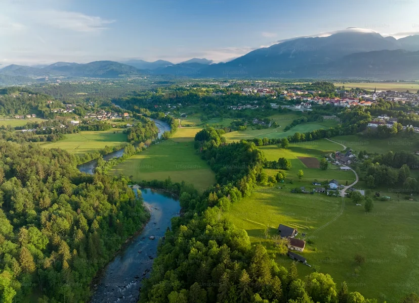
A small drone is now doing restoration monitoring that used to take a field team two weeks. Here's how SSEAFA uses technology without losing the community at the center of it.
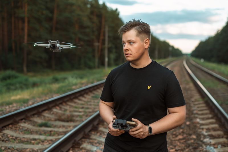
It's tempting to imagine climate technology as something that happens in labs far from the communities most affected by climate change. In practice, some of the most useful tools SSEAFA has adopted are unglamorous and inexpensive — and every one exists to make community-led work faster and more accountable, not to replace it.
Drone mapping is the clearest example. A single flight over a restoration site now produces the kind of canopy-cover and survival-rate data that used to require a field team walking transects for a week with a clipboard. That data lets communities see, almost in real time, which planting techniques are actually working on their specific soil and slope.
The drone doesn't tell us what to do. It tells us, fast, whether what we already decided to do is working.
— SSEAFA GIS Coordinator
Mobile-based data collection has done something similar for community monitoring. Farmer-scientists in SSEAFA's partner cooperatives now log rainfall, pest sightings, and crop stages directly on basic smartphones, feeding a shared dataset that used to exist only in scattered paper notebooks — if it existed at all.
None of this technology works without deliberate design choices to keep it usable by the people who need it. Every tool SSEAFA deploys has to run on the phones people already own, work with intermittent connectivity, and require training measured in hours, not weeks. Technology that only a foreign technician can operate is not climate technology for these communities — it's just an expensive demonstration.
Every project in this journal is funded by people who will likely never visit — but whose support reaches every village we work in.